Notgeld site refurbished
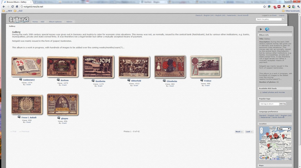
It was long overdue, but I now finally got around to refurbishing my Notgeld site. This project, which I started back in 2003, has been running on software provided by the Gallery Project. Now that the Gallery Project is close to releasing version 3 of their excellent photo/image gallery I decided the time was right […]
Notgeld site refurbished Read More »